← All galleries
Gallery
Lot and Land
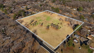
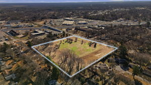
Parcels, acreage and development sites from the air, with boundaries drawn where we have them.
Full shoots
Twelve frames from each delivered set, front exterior first. Tap a lot and land shoot to browse it.
More lot and land projects
Tap any project for its cover frame and the full property tour.
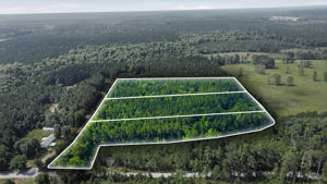
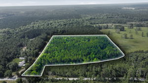
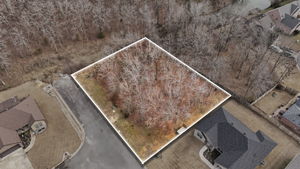
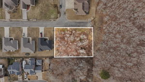
Lot lines & site plans
Drone aerials with property boundaries mapped in, so buyers see exactly what they're getting.
Free 30-min consult
Want your lot and land work shot like this?
Book a free 30 minute call. We'll walk through the property, what it costs, and which package fits.
- Compare packages across verticals
- Get real-time pricing for your scope
- Talk studio membership vs. one-off
- Walk away with a written next-step
Book a free 30-min callOr compare all services →
30 minutes on Google Meet, or call (501) 502-2925 if you'd rather talk
Your listing, shot like this.
Other galleries